
Heritage Conservation Map
People, associations and cases of Czech heritage conservation from 1900 to 1960 on one map. It shows who worked where and how people, institutions and cases were connected.
Challenge: In a NAKI research grant, the Institute of Art History of the Czech Academy of Sciences studies how heritage conservation worked in the first half of the 20th century: who made the decisions, which institutions were involved and what the cases were about. It wanted to show the results of its archival research to both the public and experts in a better way than tables - on a map and over time.
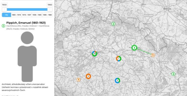
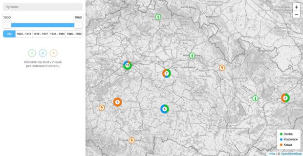
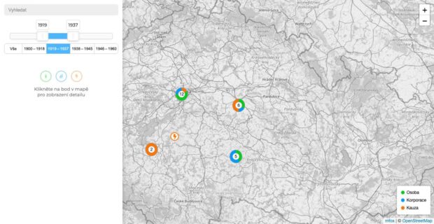
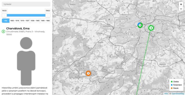
Solution: Together with the research team we designed the data model (person / institution / case, the links between them and years of activity) and built a public map application. Points are filtered by search and on a timeline - by year or by four historical periods. Clicking a point opens a side panel with a profile and shows all related points on the map, connected by lines. Every point has its own URL, so the project website and publications can link to it directly.
Result: The map is publicly available as part of the project website. Data grows with the research, and we have been developing the map since 2023.