
Picking land parcels from the cadastre right in the order form.
Předinženýring
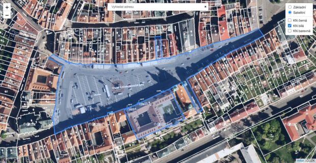
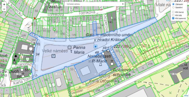
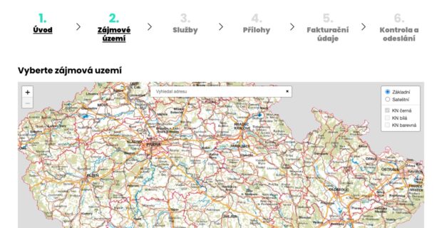
A map inside the order form where customers find an address and click to select parcels from the Czech land register. The selected plots go straight into the order.
Challenge: Předinženýring.cz prepares site information before a building is designed: the zoning plan, utilities, protection zones or easements. Customers therefore have to specify exactly which plots their order is about - and they rarely know the parcel numbers.
Solution: We built a map application on Czech cadastral data (ČÚZK) into the order form. Customers search for an address, zoom in to the cadastral map and click to select parcels. For each parcel the app loads its boundary, area and number from the land register and passes them to the form. Another click removes the parcel from the selection. The form can also switch the map to a preview mode that just shows the selected plots.
Result: Customers order a site survey for specific parcels without looking up numbers in the land register, and the company gets a precisely defined area of interest. The website was built by FIRA Media; we embedded the map as a standalone application.