Petr is a GIS specialist, Tomáš a software architect. Together we build web map apps and spatial-data tools - fast, with AI coding agents and under full engineering control.

Greenery registers, citizen feedback maps or zoning plan viewers - on national open data and your own layers.
Greenery registerDefects, contracts and utilities scattered across spreadsheets and drawings? We put them on one map your maintenance team can use in the field.
Airport registerYou need a map or geodata API in your product without hiring a GIS team of your own.
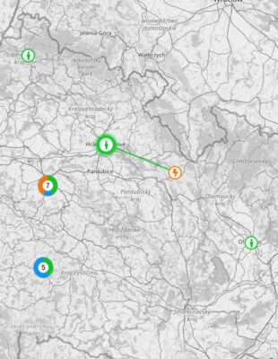
Load zone mapsYou have research or project data and want to show it to people: points over time, the links between them or your own story on a map.
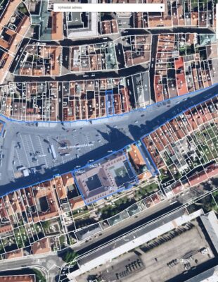
Heritage Conservation MapWe go through your problem and the data you have. No commitment. We'll also tell you if we're not the right fit.
A clickable first version on your own data. You see right away whether we're heading the right way, and you have a basis for decisions.
A production version with tests and documentation at a fixed price. The code lives in your repository from day one.
Hosting with us or on your side, updates and further development. We have been running many of our apps for years.
Map applications people use every day.


That's how we started more than ten years ago: our first web map application, a municipal greenery register, won first prize in Apps4Europe. Since then we have built map applications for engineering software vendors, an airport, sports associations and municipalities - and we still run some of them today.
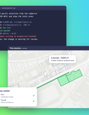
Today there's a new pace. We develop agentically with AI (Claude Code), but this is not “vibe coding”: requirements are written before the first prompt, every change is reviewed by a human, the code is tested and sits in your repository from day one. That's how we deliver in days what used to take weeks - and we know exactly what we build and why.

Petr Schiller - GIS & product. 20+ years in geoinformation technologies. Knows spatial data, cadastres, coordinate systems and how a facility manager or an engineer actually works. He shapes the brief with clients and makes sure the app solves the right problem.
Tomáš Hůlek - architecture & engineering. 20+ years building web and map applications - from map portals for Prague City Council and the Czech Police to live sports visualisations for William Hill. He designs the architecture, builds the apps and runs AI-agentic development so the result meets professional standards - tests, reviews, documentation.
You work directly with both of us. No sales layer, no junior hand-offs. We take on few projects at a time so each gets full attention.


Custom web map applications
Map components & geodata for software products
Asset registers for sites, utilities & greenery
GIS analysis & data processing
Rapid prototypes on your own data
Taking AI-built prototypes to production
Hosting, maintenance & further development
MapLibre migration & map app audits


Yes, we develop agentically with AI (Claude Code). No, it's not vibe coding. Requirements and acceptance criteria come first, every change is reviewed by a human, the code is tested and deployed continuously. AI speeds up writing code; architecture and quality decisions are ours.
You'll see a first working version on your data within a few days. A finished application ships in weeks, not months. You get a firm deadline with our quote, and we keep it.
We work at a fixed price, not by the hour. Tell us what you need to solve and we'll send an estimate within a few days. Larger projects start with a short scoping of the brief and data.
You do. The code lives in your repository from day one, data stays with you or on a server of your choice. We don't send sensitive data to AI tools.
Yes. We work remotely in English and Czech and invoice in EUR or CZK.
We cover the whole chain - from raw data to the map in your browser. We build apps in TypeScript, React and Next.js, process spatial data in PostGIS, QGIS and GDAL, and render maps with MapLibre, OpenLayers or Leaflet. We know Czech data and standards: S-JTSK (EPSG:5514), ČÚZK web services (WMS/WMTS), RÚIAN, ZABAGED, digital technical maps (DTM, JVF) and INSPIRE metadata. Modern formats such as vector tiles (PMTiles), COG and GeoParquet cut running costs - a map portal often needs no map server of its own. Open source means no licence fees, but we're just as comfortable with GeoServer, Mapbox or your ArcGIS (Esri) setup.
 Apps4Europe 2014 - 1st place
 European Satellite Navigation Competition 2014 - 5th place
 Open Society Fund - 6th place